
Country United States Time zone CST (UTC-6) Elevation 228 m Local time Wednesday 9:52 AM | Established September 9, 1867 ZIP codes 60952, 60962, 60968 Area 109.3 km² Population 518 (2010) | |
 | ||
Weather -6°C, Wind NW at 21 km/h, 66% Humidity | ||
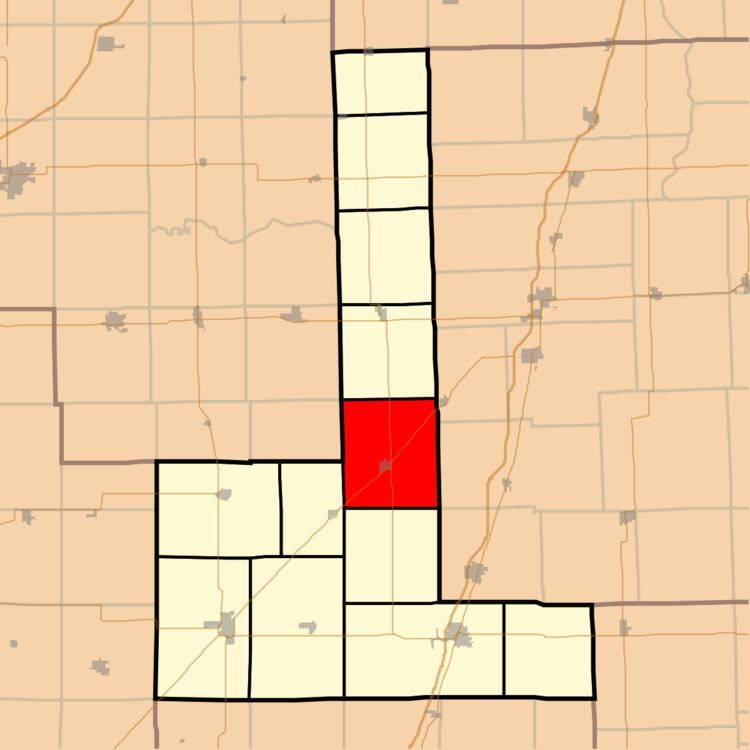
Lyman Township is one of twelve townships in Ford County, Illinois, USA. As of the 2010 census, its population was 518 and it contained 272 housing units. The township was formed from a portion of Brenton Township on September 9, 1867.
Contents
- Map of Lyman Township IL USA
- Geography
- Cities towns villages
- Major highways
- Airports and landing strips
- School districts
- Political districts
- References
Map of Lyman Township, IL, USA
Geography
According to the 2010 census, the township has a total area of 42.2 square miles (109 km2), of which 42.13 square miles (109.1 km2) (or 99.83%) is land and 0.07 square miles (0.18 km2) (or 0.17%) is water.
Cities, towns, villages
Major highways
Airports and landing strips
School districts
Political districts
References
Lyman Township, Ford County, Illinois Wikipedia(Text) CC BY-SA