
Population 189 (2011) Civil parish Lydham Local time Wednesday 1:44 PM | OS grid reference SO334909 Dialling code 01588 | |
 | ||
Weather 14°C, Wind SW at 14 km/h, 60% Humidity | ||
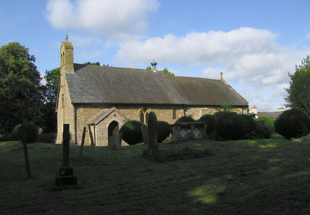
Lydham is a small village and civil parish in Shropshire, England.
Contents
Map of Lydham, Bishops Castle, UK
Lydham is situated on the junction of the A488 and the A489 main roads, about 2 miles (3.2 km) north of Bishop's Castle.
There is a market held on Fridays in the village hall. Close by is the small village and separate parish of More.
History
Two miles to the south-east, in the parish of Lydham, are the fragmentary remains of Lea Castle, adjoining a modern farmhouse at Lower Lea.
Railway
Lydham was served by the now defunct Bishops Castle Railway which closed in 1935. The station was nearby at Lydham Heath.
References
Lydham Wikipedia(Text) CC BY-SA