Country Ukraine Established 1300 Time zone EET (UTC+2) Area 146 ha Province Lviv Oblast | District Skole Raion Elevation/(average value of) 589 m (1,932 ft) Postal code 82632 Local time Wednesday 1:44 PM | |
 | ||
Weather 6°C, Wind W at 13 km/h, 72% Humidity | ||
Lybohora (Ukrainian: Либохо́ра, Polish: Libochora) is a village (selo) in Skole Raion, Lviv Oblast (province) of Western Ukraine. The village is a small, its area is 1,46 km² and has 918 inhabitants.
Contents
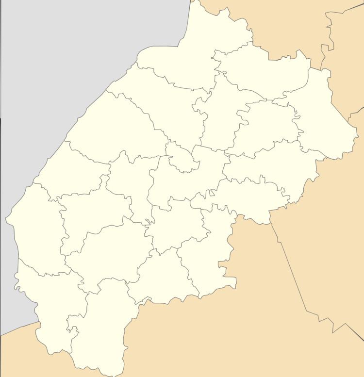
Map of Lybokhora, Lvivska, Ukraine
Local government is administered by Lybokhorivska village council.
Geography
The village is located between high mountains. The second highest peak of Lviv region - Mount Magura (1,362.7 metres (4,471 ft)) towers over the village.
Lybohora is located 129 kilometres (80 mi) of the regional center Lviv is, 14 kilometres (8.7 mi) of the district center Skole, and 12 kilometres (7.5 mi) of the urban village Slavske.
History and Attractions
The village was founded probably around 1300, but began to be mentioned in written sources in the 14th and 15th centuries.
The village has an architectural monument of local importance of Skole Raion (Skole district) – Christmas Church (wood.) 1790 (1496-M).
