
Sub-provincial city Changchun Postal code 130062 Area 338 km² Population 810,551 (2010) | Time zone China Standard (UTC+8) 9 Yushu Local time Wednesday 6:05 PM Province Jilin | |
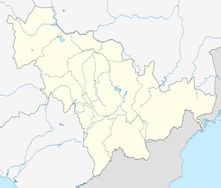 | ||
Country People's Republic of China Changchun district map Subdivisions of Changchun, Jilin
1
2
3
4
5
6
7
8
9
10
Core
1
Nanguan
2
Kuancheng
3
Chaoyang
4
Erdao
5
Luyuan
Suburban
6
Shuangyang
Satellite
8
Jiutai
9
Yushu
10
Dehui
Rural
7
Nong'an Co. Weather 4°C, Wind S at 6 km/h, 36% Humidity | ||
Luyuan District (simplified Chinese: 绿园区; traditional Chinese: 綠園區; pinyin: Lùyuán Qū) is one of six districts of Changchun, the capital of Jilin province, People's Republic of China, forming part of the city's urban core. It borders Kuancheng District to the north and east, Chaoyang District to the south, and Nong'an County to the north and west, as well as the prefecture-level city of Siping to the west.
Contents
Map of Lvyuan, Changchun, Jilin, China
Administrative divisions
There are 7 subdistricts, 1 town, and 2 townships.
Subdistricts:
The only town is Hexin (合心镇)
Townships:
References
Luyuan District Wikipedia(Text) CC BY-SA