
 | ||
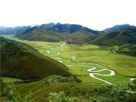
Luya is located in the south and west part of the department of Amazonas in Peru. Its territory, which partly is ceja de selva, is crossed by branches of the Cordillera Central (namely the Cordillera Blanca) and the Oriental of the Andes, being rasped by deep streams, high pampas and snowed summit. It deserved to be named the streams of Hoyada Grande and Luya, the fertile valleys of Pizuquia and Cesuya, as well as the snow-capped mountains of Shube, Mesón and Santa Clara located in the Cordillera Oriental.
Contents
Map of Luya Province, Peru
Its principal rivers are:
The province was created by law of February 5, 1861, has 23 districts and its capital is Lamud.
Political division
Luya is divided into twenty-three districts, which are:
References
Luya Province Wikipedia(Text) CC BY-SA