
Airport type Public 18/36 4,200 Phone +1 507-283-5041 | Owner City of Luverne Elevation AMSL 1,435 ft / 437 m 4,200 1,280 | |
 | ||
Address 941 US-75, Luverne, MN 56156, USA Similar Luverne Area Aquatics, Verne Drive In Theatre, Palace Theatre, Luverne Building Official, Luverne Community Facility | ||
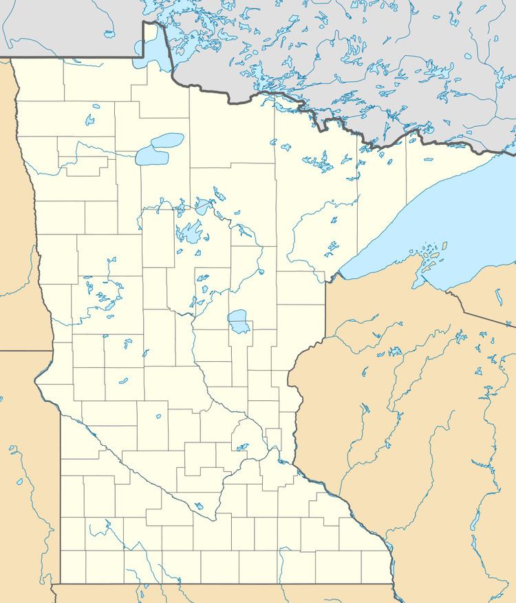
Luverne Municipal Airport (ICAO: KLYV, FAA LID: LYV), also known as Quentin Aanenson Field, is a public use airport in Rock County, Minnesota, United States. It is owned by the City of Luverne and located two nautical miles (4 km) south of its central business district. This airport is included in the National Plan of Integrated Airport Systems for 2011–2015, which categorized it as a general aviation facility.
Although many U.S. airports use the same three-letter location identifier for the FAA and IATA, this airport is assigned LYV by the FAA but has no designation from the IATA.
Facilities and aircraft
Quentin Aanenson Field covers an area of 85 acres (34 ha) at an elevation of 1,435 feet (437 m) above mean sea level. It has one runway designated 18/36 with an asphalt surface measuring 4,200 by 75 feet (1,280 x 23 m).
For the 12-month period ending July 21, 2010, the airport had 8,400 general aviation aircraft operations, an average of 23 per day. At that time there were 16 single-engine aircraft based at this airport.