
Time zone CET/CEST (UTC+1/+2) Area 23.7 km² Population 1,475 (31 Dec 2008) Dialling code 02677 | Elevation 419 m (1,375 ft) Postal codes 56826 Postal code 56826 Local time Wednesday 9:25 AM | |
 | ||
Weather 8°C, Wind N at 6 km/h, 85% Humidity | ||
Karneval 2016 umzug in lutzerath
Lutzerath is an Ortsgemeinde – a municipality belonging to a Verbandsgemeinde, a kind of collective municipality – in the Cochem-Zell district in Rhineland-Palatinate, Germany. It belongs to the Verbandsgemeinde of Ulmen, whose seat is in the like-named town. Lutzerath is a recognized recreational resort (Erholungsort).
Contents
- Karneval 2016 umzug in lutzerath
- Map of 56826 Lutzerath Germany
- Lutzerath september 2014
- Location
- Constituent communities
- History
- Municipal council
- Mayor
- Coat of arms
- Town partnerships
- Buildings
- Lutzerath main centre
- Driesch
- Other points of interest
- Economy and infrastructure
- References
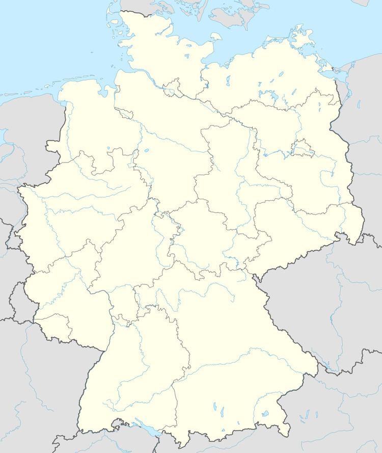
Map of 56826 Lutzerath, Germany
Lutzerath september 2014
Location
Lutzerath lies in the Vulkaneifel, a part of the Eifel known for its volcanic history, geographical and geological features, and even ongoing activity today, including gases that sometimes well up from the earth. It is not, however, in the district bearing this same name. Lutzerath is found on a high ridge (435 m above sea level) framed by dales, woods and meadows, between the state spa of Bad Bertrich and the tourist resort of Daun. Nearby are some crater lakes.
Constituent communities
Besides the main centre, also called Lutzerath, there is an outlying centre called Driesch.
History
In 1051, Lutzerath had its first documentary mention and was long an Electoral-Trier holding. In 1726, a main post office with a horse-changing station was built in Lutzerath. With the French Revolutionary occupation of the lands on the Rhine’s left bank between 1794 and 1796, Lutzerath passed to the canton of Lutzerath. In 1815 it was assigned to the Kingdom of Prussia at the Congress of Vienna. Since 1946, it has been part of the then newly founded state of Rhineland-Palatinate.
The outlying centre of Driesch formed together with Lutzerath a single municipality until 1922 when it became a separate one. On 7 June 1969, however, it was amalgamated with Lutzerath once again.
Municipal council
The council is made up of 16 council members, who were elected by proportional representation at the municipal election held on 7 June 2009, and the honorary mayor as chairman.
The municipal election held on 7 June 2009 yielded the following results:
Mayor
Lutzerath’s mayor is Günter Welter, and his deputies are Roswitha Lescher, Werner Trasser and Hermann-Josef Kesseler.
Coat of arms
The municipality’s arms might be described thus: Argent a cross gules surmounted by an inescutcheon sable charged with a palm leaf bendwise slipped and in sinister chief three stones Or.
Town partnerships
Lutzerath fosters partnerships with the following places:
Buildings
The following are listed buildings or sites in Rhineland-Palatinate’s Directory of Cultural Monuments:
Lutzerath (main centre)
Driesch
Other points of interest
Economy and infrastructure
The municipality is characterized by agriculture, tourism and trade. As the main centre in the surrounding area, Lutzerath has many infrastructural institutions.