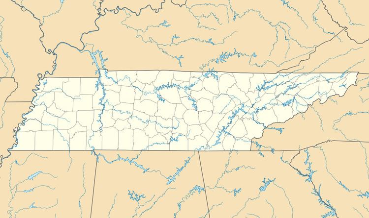
Country United States Elevation 177 m Local time Wednesday 3:18 AM Area code 931 | Time zone Central (CST) Zip code 38471 Population 530 (2010) | |
 | ||
Weather -2°C, Wind N at 13 km/h, 73% Humidity | ||
Lutts is an unincorporated community in Wayne County, Tennessee, United States. It is also known as "Pinhook."
Contents
- Map of Lutts TN 38471 USA
- Economy
- Tornado
- Highways
- Churches in or near Lutts
- Nearby cities and communities
- References
Map of Lutts, TN 38471, USA
Lutts is served by the Lutts Volunteer Fire Department and Lutts Community Center. The Pinhook School formerly operated in Lutts.
Economy
The economy of Lutts is mainly agricultural. However, there is a growing insurance industry that has been established in the area.
Tornado
On the evening of December 23, 2015, an EF-3 tornado destroyed over 20 buildings in the Lutts community, including Lutts United Methodist Church and the United States Post Office. Postal operations are temporarily relocated to the office in nearby Collinwood, Tennessee. The Methodist Church will be temporarily relocated to the fire hall.
Highways
Churches in or near Lutts
Nearby cities and communities
References
Lutts, Tennessee Wikipedia(Text) CC BY-SA
