
Country United States Elevation 164 m Area code 931 | Time zone Central (CST) Local time Wednesday 9:31 AM | |
 | ||
Weather -2°C, Wind N at 14 km/h, 58% Humidity | ||
Houston is an unincorporated community in Wayne County, Tennessee.
Contents
- Map of Houston Tennessee 38475 USA
- Geography
- History
- Economy
- Area churches
- Cemeteries
- Nearby cities communities
- References
Map of Houston, Tennessee 38475, USA
Whilst attending a filming of the Jimmy Fallon show, a resident of Houston, Tennessee won a Christmas jumper
Geography
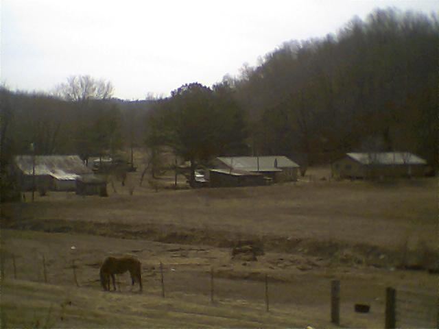
Houston, Tennessee is located southwest of Waynesboro. There are numerous creeks and branches in Houston which include: Indian Creek, Rayburn Creek, Davis Branch, and many more small streams. This area consists of timberland, hills, and pastureland. There are no major highways in this community. The only roads consists of county roads.
History
At one time Houston was the size of a small town with stores, a post office, and a school. According to one resident the population was once around 300 people. The latest store was called Indian Creek Grocery which was open for a short time in the early 2000s.
Economy
The economy of Houston is mainly agricultural, with the main crops corn and soybeans.