
Intercommunality Auzances-Bellegarde Area 32.64 km² | Canton Bellegarde-en-Marche Population (2008) 329 Local time Wednesday 5:50 AM | |
 | ||
Weather 2°C, Wind E at 6 km/h, 90% Humidity | ||
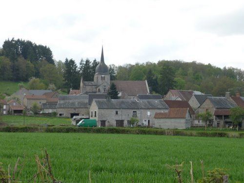
Lupersat is a commune in the Creuse department in the Nouvelle-Aquitaine region in central France.
Contents
Map of 23190 Lupersat, France
Geography
A large area of farming, lakes and forestry comprising a small village and several hamlets situated in the Tardes river valley, some 10 miles (16 km) northeast of Aubusson, at the junction of the D38 and the D988 roads.
Sights
References
Lupersat Wikipedia(Text) CC BY-SA