
Country United States County Essex ZIP code 05904, 05906 Elevation 395 m Local time Tuesday 11:40 PM | Time zone EST (UTC-5) FIPS code 50-41425 Population 1,302 (2010) Area code 802 | |
 | ||
Weather -6°C, Wind N at 21 km/h, 83% Humidity Area 118.6 km² (116.8 km² Land / 181 ha Water) Neighborhoods South Lunenburg, Mill Village, Baptist Hill, Gilman | ||
Lunenburg is a town in Essex County, Vermont, United States. The population was 1,302 at the 2010 census, the most populous in Essex County. The name stems from one of the titles for Prince Karl Wilhelm Ferdinand of Brunswick-Lunenburg.
Contents
Map of Lunenburg, VT, USA
Lunenburg contains the villages of West Lunenburg, South Lunenburg, and Gilman, and is part of the Berlin, NH–VT Micropolitan Statistical Area.
Lunenburg was the home of Vermont State Representative Adino Nye Bell.
Lunenburg is also believed to have inspired the Robert Frost poem "The Mountain", which takes place in a town called Lunenburg.
Geography
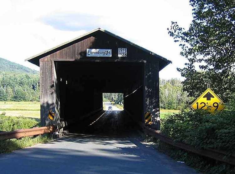
Lunenburg is in southern Essex County along the Connecticut River, the border between Vermont and New Hampshire. It is bordered to the west by the town of Concord, to the northwest by Victory, at its northernmost point by Granby, and to the northeast by Guildhall, all in Vermont. Across the Connecticut, to the east is the town of Lancaster, New Hampshire, and to the south is the town of Dalton, New Hampshire. U.S. Route 2 crosses through the center of Lunenburg, leading west to St. Johnsbury and east to Lancaster and Gorham, New Hampshire. The Mount Orne Covered Bridge is in the eastern part of town, crossing the Connecticut to South Lancaster, New Hampshire.
According to the United States Census Bureau, Lunenburg has a total area of 45.8 square miles (118.6 km2), of which 45.1 square miles (116.7 km2) is land and 0.69 square miles (1.8 km2), or 1.55%, is water. Neal Pond, north of the town center, is the largest water body. The highest point is 2,279-foot (695 m) Temple Mountain in the northern part of town.
Demographics
As of the census of 2000, there were 1,328 people, 516 households, and 366 families residing in the town. The population density was 29.5 people per square mile (11.4/km2). There were 747 housing units at an average density of 16.6 per square mile (6.4/km2). The racial makeup of the town was 97.82% White, 0.08% African American, 0.68% Native American, 0.08% Asian, and 1.36% from two or more races. Hispanic or Latino of any race were 0.38% of the population.
There were 516 households out of which 33.5% had children under the age of 18 living with them, 57.0% were married couples living together, 8.5% had a female householder with no husband present, and 28.9% were non-families. 21.7% of all households were made up of individuals and 9.7% had someone living alone who was 65 years of age or older. The average household size was 2.55 and the average family size was 2.97.
In the town, the population was spread out with 26.4% under the age of 18, 7.1% from 18 to 24, 29.1% from 25 to 44, 23.1% from 45 to 64, and 14.4% who were 65 years of age or older. The median age was 37 years. For every 100 females there were 103.1 males. For every 100 females age 18 and over, there were 98.8 males.
The median income for a household in the town was $28,802, and the median income for a family was $33,000. Males had a median income of $26,793 versus $18,594 for females. The per capita income for the town was $12,804. About 8.7% of families and 12.6% of the population were below the poverty line, including 15.0% of those under age 18 and 9.9% of those age 65 or over.