
Time zone EET (UTC+2) Local time Wednesday 3:44 AM | Region Åland Municipal tax rate 18.5% | |
 | ||
Sub-region Åland Countryside sub-region Area rank 308th largest in Finland Weather 4°C, Wind SW at 21 km/h, 76% Humidity | ||
Lumparland is a municipality of Åland, an autonomous territory of Finland. It is the smallest municipality on mainland Åland.
Contents
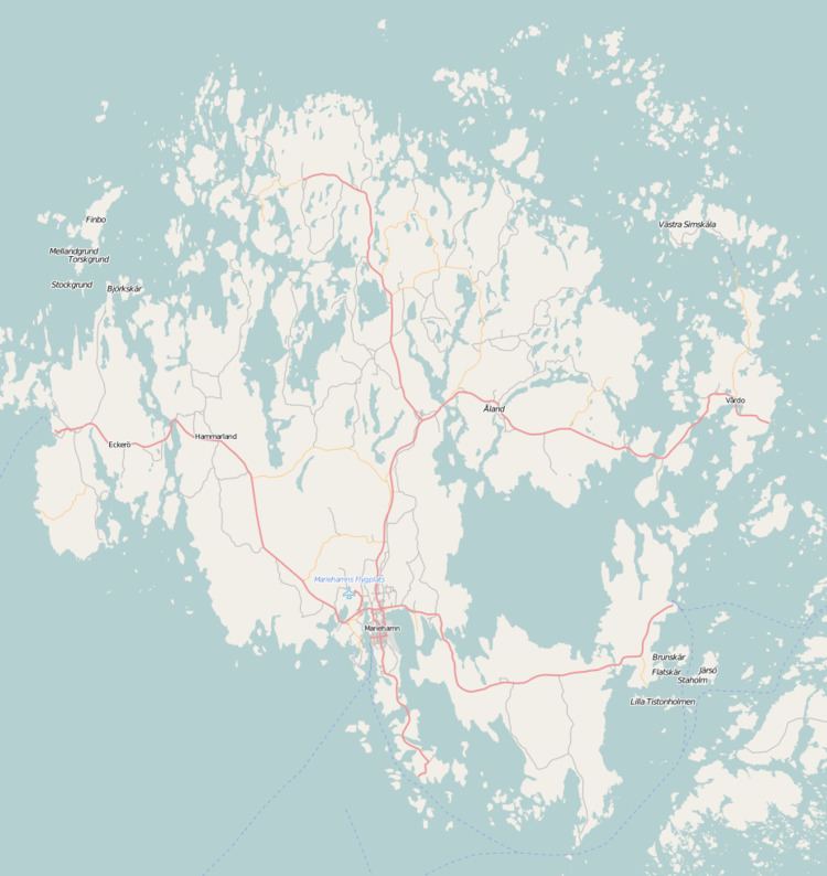
Map of Lumparland, %C3%85land Islands
The municipality has a population of 390 (31 March 2016) and covers an area of 36.35 square kilometres (14.03 sq mi) of which 50.8 km2 (19.6 sq mi) is water. The population density is 10.76 inhabitants per square kilometre (27.9/sq mi). The municipality is unilingually Swedish.
The main village is Klemetsby, where there is a bank, a church, a post office and a school. Klemetsby is 25 kilometres (16 mi) away from Mariehamn. The ferry port of Långnäs is situated in the eastern part of Lumparland.
Lumparland was the last municipality in Finland to establish its own website which happened in 2004.
The municipality has previously also been known as "'Lumparlanti" in some Finnish documents, but is today referred to as "Lumparland" also in Finnish.
Sights
The Church of Lumparland, dedicated to St. Andrew, is the oldest surviving wooden church in Åland, dating back to the 1720s. Inside the church, the altar painting is the work of Victor Westerholm. There is also a miniature ship from 1836 inside the church.
Geography
Lumparland borders the eastern edge of a billion-year-old nine-kilometer wide water filled impact crater, Lumparn, which is devoid of islands.
Lumpokasen (60.7 m or 199 ft) is the highest point in the municipality.
Economy
Agriculture and tourism are the most important lines of business in Lumparland.