
Time zone EAT (UTC+3) Local time Wednesday 4:22 AM | Elevation 1,080 m | |
 | ||
Weather 19°C, Wind SE at 3 km/h, 94% Humidity | ||
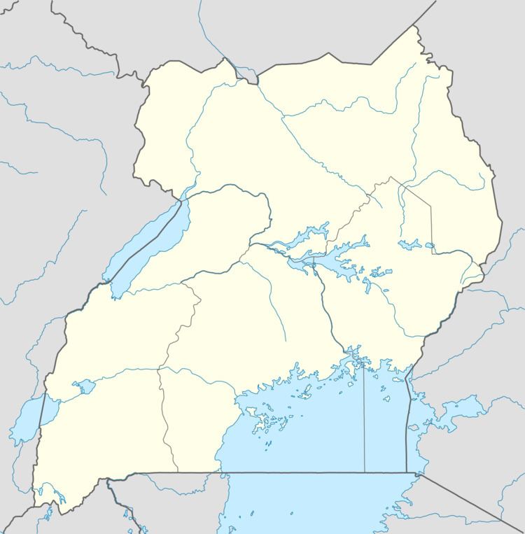
Location
Lumino is located approximately 21 kilometres (13 mi), by road, south of Busia, the nearest large town and the location of the district headquarters. This location is approximately 186 kilometres (116 mi), by road, east of Kampala, the largest city and capital of Uganda. The coordinates of Lumino are 0°19'30.0"N, 33°59'45.0"E (Latitude:0.324997, Longitude:33.995831).
Population
The 27 August 2014 national census enumerated the population of Lumino sub-county at 14,624.
Landmarks
The landmarks within the town limits or close to the edges of town include: Musita–Mayuge–Lumino–Majanji–Busia Road - the road continues northwards for 21 kilometres (13 mi) to Busia. Also at Lumino, a southern spur of the road continues for 10 kilometres (6 mi) to the northern shores of Lake Victoria at Majanji.