
Area 8.39 km² | ||
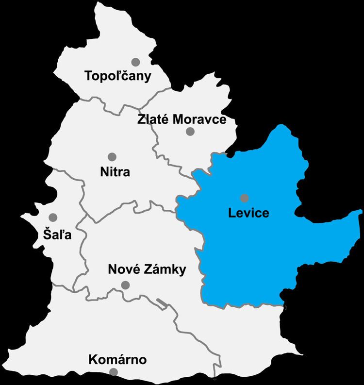 | ||
Lula (Hungarian: Lüle) is a village and municipality in the Levice District in the Nitra Region of Slovakia.
Contents
Map of 935 35 Lula, Slovakia
History
In historical records the village was first mentioned in 1226.
Geography
The village lies at an altitude of 180 metres and covers an area of 8.388 km². It has a population of about 200 people.
Ethnicity
The village is approximately 98% Slovak and 2% Magyar
Facilities
The village has a public library and football pitch.
References
Lula, Levice District Wikipedia(Text) CC BY-SA