Elevation 70 m (230 ft) Postal code 23224 Local time Wednesday 12:14 AM | Time zone CET (UTC+1) Area code(s) +381(0)23 Population 598 (2002) | |
 | ||
Weather 4°C, Wind NW at 8 km/h, 74% Humidity | ||
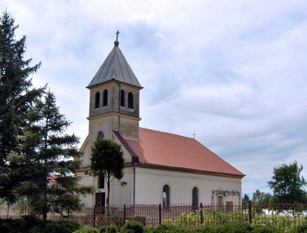
Lukino Selo (Serbian Cyrillic: Лукино Село, Hungarian: Lukácsfalva, German: Lukasdorf) is a village located in the Zrenjanin municipality, in the Central Banat District of Serbia. It is situated in the Autonomous Province of Vojvodina. The village has a Hungarian ethnic majority (67.56%) and its population numbering 598 people (2002 census).
Contents
Map of Lukino Selo, Serbia
Ethnic groups (2002 census)
Historical population
References
Lukino Selo Wikipedia(Text) CC BY-SA
