
Elevation 1,224 m | District Lufwanyama District Population 3,240 (2010) | |
 | ||
Lufwanyama deforestation
Lufwanyama is a small town in Zambia.
Contents
- Lufwanyama deforestation
- Map of Lufwanyama Zambia
- Location
- Overview
- Population
- Points of interest
- References
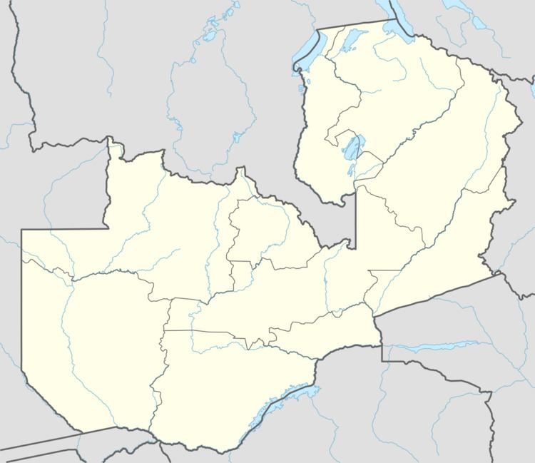
Map of Lufwanyama, Zambia
Location
The town lies in Lufwanyama District in the Copperbelt Province, in northwestern Zambia, close to the International border with the Democratic Republic of the Congo. This location lies approximately 105 kilometres (65 mi), by road, southwest of Kitwe, Zambia's second-largest city, by population. The town lies close to the Lufwanyama River which flows from north to south, about 70 kilometres (43 mi) west of Kitwe and enters the Kafue River. Lufwanyama sits at an average elevation of 1,224 metres (4,016 ft), above sea level.
Overview
Despite being only 65 miles (105 km), by road, southwest of the most urban and industrialised part of the country, the mining cities of the Copperbelt, Lufwanyama is underdeveloped and lacks infrastructure such as electricity, all-weather roads and hospitals. Zambia National Commercial Bank, the largest financial services provider in the country, by assets, maintains a branch in the town.
Population
The current population of the town is not publicly known.
Points of interest
The following points of interest lie within the town or close to its edges: