
Country Thailand Time zone ICT (UTC+7) Geocode 3707 Population 36,878 (2005) | Seat Amnat Postal code 37000 Area 191.8 km² Province Amnat Charoen Province | |
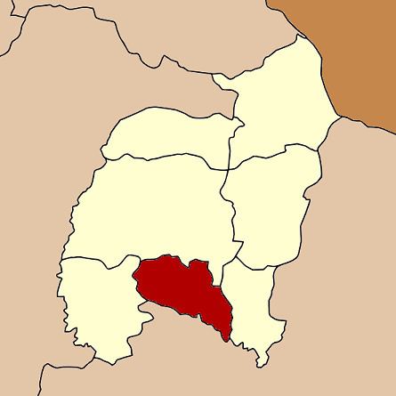 | ||
Lue Amnat (Thai: ลืออำนาจ, [lɯ̄ː ʔām.nâːt]) is a district (amphoe) in the southern part of Amnat Charoen Province, northeastern Thailand.
Contents
Map of Lue Amnat District, Amnat Charoen, Thailand
Geography
Neighboring districts are (from the west clockwise) Hua Taphan, Mueang Amnat Charoen, Phana of Amnat Charoen Province, and Muang Sam Sip of Ubon Ratchathani Province.
History
The minor district (King Amphoe) was created on 1 April 1991, when six tambon were split off from Amnat Charoen District. In 1993 it was one of the districts which formed the newly created Amnat Charoen Province. The minor district was upgraded to a full district on 5 December 1996.
Administration
The district is divided into seven sub-districts (tambon), which are further subdivided into 79 villages (muban). Amnat is a township (thesaban tambon) which covers parts of the tambon Amnat. There are further seven tambon administrative organizations (TAO).