
International dialling code prefix +6083 (landline only) Postal code 95900 Local time Tuesday 7:04 PM | District Lubok Antu District Area 3,143 km² Population 555 (2010) | |
 | ||
Website Lubok Antu: www.lubokantudc.sarawak.gov.my/index_bi.html Weather 27°C, Wind W at 3 km/h, 83% Humidity | ||
Batang ai national park tourist attractions in malaysia
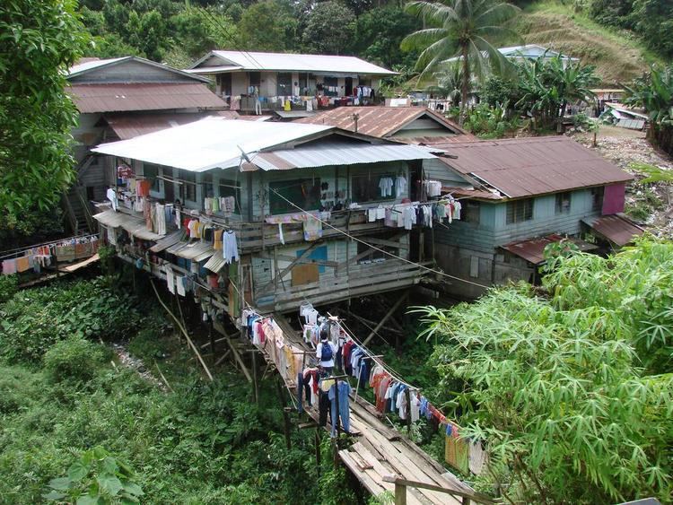
The Lubok Antu District is a district in Sri Aman Division in the state of Sarawak, Malaysia. It borders with Indonesia (Badau). The people here are predominantly Ibans. Most of the economical activities here are farming (shift cultivation).
Contents
- Batang ai national park tourist attractions in malaysia
- Map of Lubok Antu Sarawak Malaysia
- Background
- Notable people
- References
Map of Lubok Antu, Sarawak, Malaysia
Background
Lubok Antu is governed by the Lubok Antu District Council which is a local government organisation formed under the State Government's Local Authorities Ordinance, 1956. The council has the right to implement council by-laws from enactments and ordinanace as approved by the State Government which, includes taxation, rentals and finance autonomy.
The council consists of a chairman, or a chairperson, a vice-chairman, and 26 council members who are appointed by the Yang Dipertua Negeri Sarawak under section 12, Local Authorities Ordinance, 1996.