
Country Laos Time zone ICT (UTC+7) Population 28,551 (2015) | Admin. division Luang Namtha Province Local time Tuesday 4:57 PM | |
 | ||
Weather 34°C, Wind W at 8 km/h, 38% Humidity Neighborhoods Xaysomboun, Phonexay, Pa Poua, Thong Om | ||
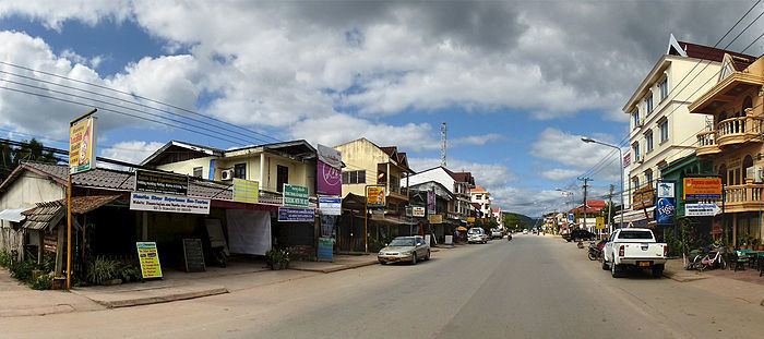
The face of laos luang namtha region
Louang Namtha, M. Nalae, or M. Na Lae, Luang Nam Tha (Lao: ມ. ນາແລ, ຫລວງນໍ້າທາ) is the capital of Luang Namtha Province in northern Laos. The city lies on the Tha River (Nam Tha).
Contents
- The face of laos luang namtha region
- Map of Luang Namtha Laos
- Travel asia cycling around luang namtha laos
- History
- Administrative divisions
- Transportation
- References
Map of Luang Namtha, Laos
Luang Namtha is the largest settlement in northwest Laos, north of Luang Prabang. It is a popular tourist destination, and a base for treks, biking to the surrounding hilltribe villages. The Luang Namtha Museum is in the town.
Travel asia cycling around luang namtha laos
History
From January through May 1962, troops from the Royal Lao Army fought the Pathet Lao and People's Army of Vietnam in the Battle of Luang Namtha. The battle ended with the RLA's headlong retreat southward 150 kilometers across the Mekong River.
Administrative divisions
The province includes five districts:
- Long (3-03)
- Nalae (3-05)
- Namtha (3-01)
- Sing (3-02)
- Viangphoukha (3-04)
Transportation
In the rainy season, Luang Namtha can be reached by boat from the Mekong River. It is connected by Highway 3 to both the Thai border at Huay Xai/Chiang Khong (197 km (122 mi)) and the Chinese border at Boten/Mengla (60 km (37 mi)). Luang Namtha is also served by Luangnamtha Airport, 6 km (3.7 mi) south of the city.