
Country United States County Palm Beach Incorporated November 1, 2006 Area 32.4 km² Zip code 33470 Local time Tuesday 3:49 AM | State Florida Settled 1917 Time zone Eastern (EST) (UTC-5) Elevation 3 m Population 3,283 (2013) Area code 561 | |
 | ||
Weather 20°C, Wind SW at 18 km/h, 90% Humidity | ||
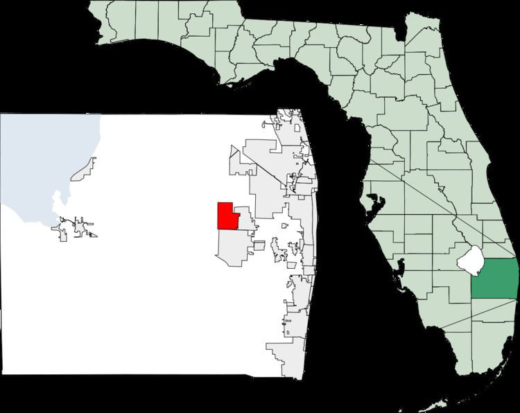
Loxahatchee Groves is a town in Palm Beach County, Florida, United States.
Map of Loxahatchee Groves, FL 33470, USA
The town was incorporated November 1, 2006 as the 38th municipality in Palm Beach County. The first election for town council members was held on March 13, 2007.
Loxahatchee Groves is bounded on the east by Royal Palm Beach, on the south by Wellington and on the west and north by The Acreage. It has an area of approximately 12.5 square miles (32.4 km2).
As of the census of 2010, there were 3,180 people residing in the village. The racial makeup of the village was 74.25% white, 4.21% African American and 18.7% Hispanic or Latino.
References
Loxahatchee Groves, Florida Wikipedia(Text) CC BY-SA