
ZIP code 24570 Elevation 246 m | Time zone Eastern (EST) (UTC-5) Area code(s) 434 Local time Tuesday 3:41 AM | |
 | ||
Weather 2°C, Wind N at 13 km/h, 95% Humidity | ||
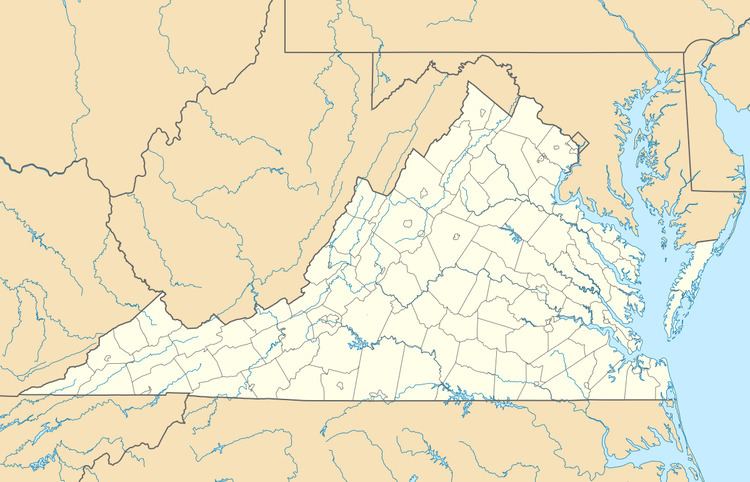
Lowry is an unincorporated community in Bedford County, Virginia, United States. Lowry is located along the Norfolk Southern Railway 5.2 miles (8.4 km) east-northeast of Bedford. Lowry has a post office with ZIP code 24570, which opened on April 12, 1854.
Map of Lowry, VA 24570, USA
References
Lowry, Virginia Wikipedia(Text) CC BY-SA