
Population 220 (2006 census) LGA(s) Federation Council Postal code 2646 | Postcode(s) 2646 County Hume Elevation 132 m Local time Tuesday 6:13 PM | |
 | ||
Weather 32°C, Wind NE at 18 km/h, 23% Humidity | ||
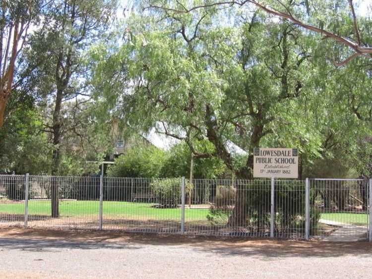
Lowesdale is a town community in Australia in the central south part of the Riverina and situated about 2 kilometres north from Buraja and 92 kilometres east from Berrigan on the Riverina Highway. At the 2006 census, Lowesdale had a population of 220.
Map of Lowesdale NSW 2646, Australia
Lowesdale Post Office opened on 1 August 1876 and closed in 1994.
References
Lowesdale, New South Wales Wikipedia(Text) CC BY-SA