
OS grid reference SU4440454702 Post town WHITCHURCH Dialling code 01256 UK parliament constituency Basingstoke | Sovereign state United Kingdom Postcode district RG28 District Basingstoke and Deane | |
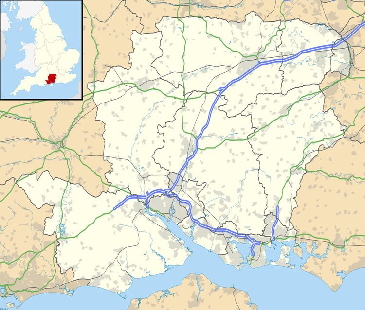 | ||
Lower Woodcott is a small village in the Basingstoke and Deane district of Hampshire, Englannd. Its nearest town is Whitchurch, which lies approximately 4.3 miles (6.7 km) south-east from the village.
Contents
Map of Lower Woodcott, Whitchurch, UK
Governance
The village is part of the civil parish of Litchfield and Woodcott, (where the 2011 Census population was included) and is part of the Burghclere, Highclere and St Mary Bourne ward of Basingstoke and Deane borough council. The borough council is a Non-metropolitan district of Hampshire County Council.
References
Lower Woodcott Wikipedia(Text) CC BY-SA