
OS grid reference SU5419 Post town Southampton | Sovereign state United Kingdom Postcode district SO32 Local time Tuesday 6:58 AM Dialling code 01489 | |
 | ||
Weather 8°C, Wind W at 10 km/h, 95% Humidity | ||
Lower Upham is a small village in Hampshire, England centred on the Post Office situated north-west of Bishop's Waltham (where the 2011 Census population was included) on the B2177.
Contents
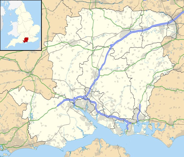
Map of Lower Upham, Southampton, UK
Governance
The village is part of the civil parish of Upham and is part of the Owslebury and Curdridge ward of the City of Winchester non-metropolitan district of Hampshire County Council.
Facilities
Lower Upham has a Post Office, the New Millennium Village Hall, two pubs - the Alma Inn and the Woodman Inn - and a small private airfield that is the home of Solent Flight, a flying school. Other businesses in the village include a large motor home and caravan sales centre.
References
Lower Upham Wikipedia(Text) CC BY-SA