
OS grid reference SP994433 Post town Bedford Local time Tuesday 6:46 AM Civil parish Marston Moreteyne | Sovereign state United Kingdom Postcode district MK43 Dialling code 01234 | |
 | ||
Weather 8°C, Wind SW at 16 km/h, 97% Humidity | ||
Lower Shelton is a village in the civil parish of Marston Moreteyne (where the 2011 Census population is included) in Bedfordshire, England. It is made of Lower Shelton Road, Stratford Way, The Rickyard, Franklin Close and Chequers Close and another small close known locally as "The jetty" although there is no water in view. The area is made up of many sizes and types of houses of differing ages.
Map of Lower Shelton, Bedford, UK
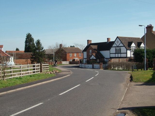
Shelton Manor is located half way between the A421 and Upper Shelton and located close to the disused Shelton Farm. The road is in a rural setting between fields with views of Lidlington and the ancient church of Marston Moreteyne. Near the top the road is crossed by a high voltage power line from Toddington switching station.
The last main housing estate to be built within the village was The Rickyard, which was completed in 2005.