
Basin countries United Kingdom | ||
 | ||
Similar Upper Rivington Reservoir, Yarrow Reservoir, Anglezarke Reservoir, Rivington Pike, Rake Brook Reservoir | ||
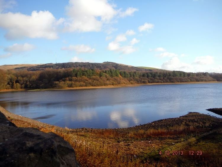
Lower Rivington Reservoir is at the end of the Rivington chain of reservoirs in Lancashire, with Upper Rivington Reservoir to the north, and Rivington Water Treatment Works to the south.
Map of Lower Rivington Reservoir, United Kingdom
The engineer for the Rivington reservoirs was Thomas Hawksley and construction took place between 1852 and 1857. The Lower Rivington reservoir has two dams, the 646 metre long, 12.2 metre high Millstone Embankment and Horwich Embankment which is 506 metres long and 18.6m high. Filter beds were constructed at the foot of the Horwich Embankment, The original sand filters were replaced by a new treatment plant from where a pipeline runs to the service reservoirs at Prescot. The River Douglas was diverted through a paved channel in deep cutting into Lower Rivington.
On the Rivington bank of the reservoir is a folly which is a replica of Liverpool Castle, and to the south west is the Headless Cross at Grimeford Village. Remains of buildings covered by water when the reservoir was filled can be seen when water levels are low. There is an activity centre offering watersports and land based activities on the Anderton bank of the reservoir.