
Sovereign state United Kingdom Postcode district HR4 Local time Tuesday 6:15 AM | Dialling code 01432 | |
 | ||
Weather 7°C, Wind SW at 5 km/h, 100% Humidity | ||
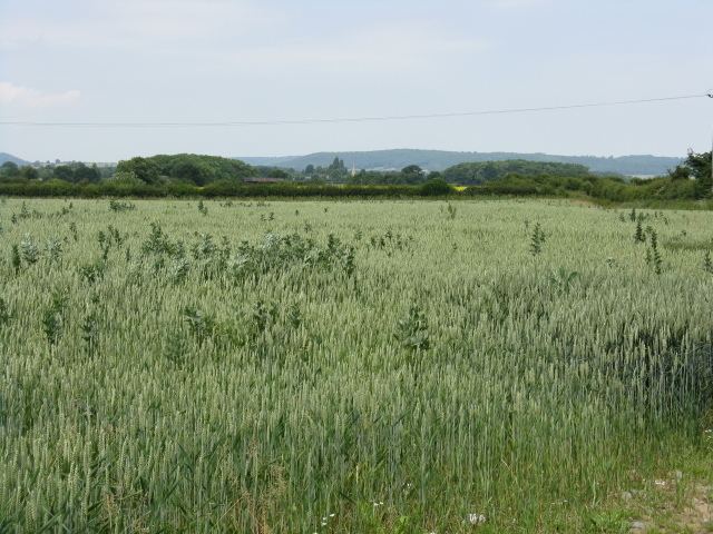
Lower Lyde is a small village in Herefordshire, around 3 miles (5 km) north of Hereford city centre. It forms part of the Pipe and Lyde civil parish. The village can be easily accessed from the A49 road.
Map of Lower Lyde, Hereford, UK
The main buildings are Lower Lyde Farm and Lower Lyde Court, a venue for weddings and performing arts events.
In the valley below the village are the River Lugg, the Welsh Marches railway line and the Wergins Stone, a prehistoric standing stione.
References
Lower Lyde Wikipedia(Text) CC BY-SA