
Population 377 (2011 census) State electorate(s) Goyder Footnotes Adjoining localities Local time Tuesday 4:43 PM Federal division Division of Wakefield | Postcode(s) 5501 Lower Light Korunye Postal code 5501 | |
 | ||
Location 46 km (29 mi) N of Adelaide Weather 28°C, Wind S at 24 km/h, 44% Humidity | ||
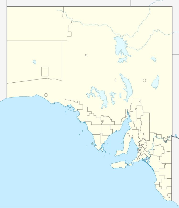
Lower Light is a township adjacent to Port Wakefield Road in South Australia's lower Mid North. The township of Port Prime was surveyed on the coast of Gulf St Vincent in 1880, but little remains of that town now, and it is included as part of the bounded locality of Lower Light.
Map of Lower Light SA 5501, Australia
Lower Light is named for the lower Light River estuary into Spencer Gulf directly south of the settlement.
References
Lower Light, South Australia Wikipedia(Text) CC BY-SA