
OS grid reference TL181460 Post town BIGGLESWADE Dialling code 01767 | Sovereign state United Kingdom Postcode district SG18 | |
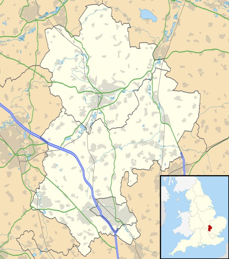 | ||
Lower Caldecote is a hamlet located in the Central Bedfordshire district of Bedfordshire, England. It also forms part of the Northill (where the 2011 Census population was included) civil parish. The nearest town to Lower Caldecote is Biggleswade.
Map of Lower Caldecote, Biggleswade, UK
Most of Lower Caldecote is situated directly to the west of the A1 road, though one farm and a sand and gravel extraction site lie on the eastern side of the A1 extending to the River Ivel.
References
Lower Caldecote Wikipedia(Text) CC BY-SA