
OS grid reference SU744846 Dialling code 01491 | Sovereign state United Kingdom Postcode district RG9 | |
 | ||
Lower Assendon is a village in the Stonor valley in the Chiltern Hills, about 1.5 miles (2.4 km) northwest of Henley-on-Thames in South Oxfordshire, England.
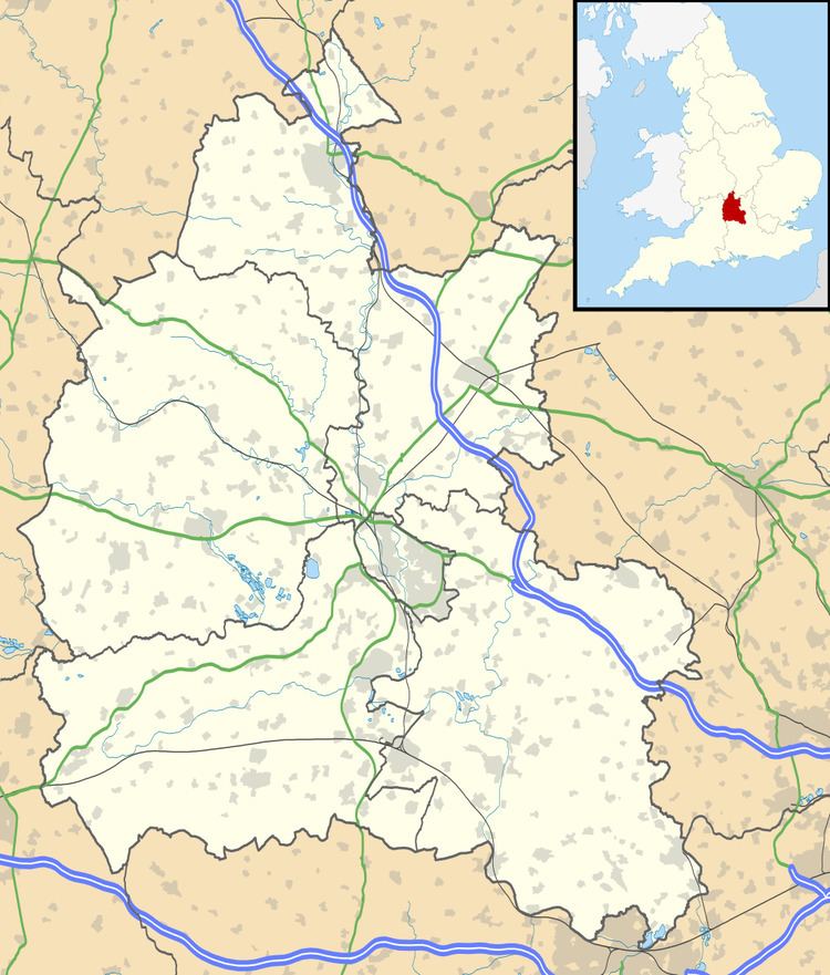
Map of Lower Assendon, Henley-on-Thames, UK
The road between Henley and Wallingford passes the village. It was made into a turnpike in 1736 and ceased to be a turnpike in 1873. It is now classified the A4130.
The village has a public house, The Golden Ball, that is now a gastropub.
Henley Park is just east of the village. It was a medieval deer park and in 1300 became part of the manor of Henley. In the Georgian era the park was converted into a landscape garden with "beautiful inclosures descending in natural waving slopes from the house."
Fairmile Cemetery, on a hillside southwest of the village, belongs to Henley Town Council.
References
Lower Assendon Wikipedia(Text) CC BY-SA