
County Cherokee ZIP codes 66713, 66739 Elevation 259 m Local time Tuesday 12:23 AM | Time zone Central (CST) (UTC-6) FIPS code 20-43050 Population 283 (2010) Area code 620 | |
 | ||
Weather 1°C, Wind N at 11 km/h, 77% Humidity Area 85 ha (80 ha Land / 5 ha Water) | ||
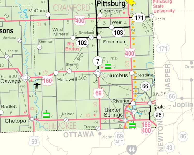
Lowell is an unincorporated community and census-designated place in Cherokee County, Kansas, United States. As of the 2010 census, the CDP population was 283.
Contents
Map of Lowell, KS 66713, USA
History
A post office was opened in Lowell in 1868, and remained in operation until it was discontinued in 1905.
Geography
Lowell is located in southeastern Cherokee County near the southeastern corner of Kansas. It is bordered to the north by the Spring River, a tributary of the Neosho River. Across the river is the community of Riverton. Baxter Springs is 4 miles (6 km) by road to the southwest.
References
Lowell, Kansas Wikipedia(Text) CC BY-SA