
Country United States ZIP code 83539 (Kooskia) Elevation 453 m Local time Monday 10:23 PM | Time zone Pacific (PST) (UTC-8) Area code(s) 208 Population 30 (2012) | |
 | ||
Weather 5°C, Wind SE at 2 km/h, 92% Humidity | ||
Lowell is an unincorporated community in Idaho County, Idaho, United States, located at the confluence of the Selway and Lochsa rivers, where they join to form the Middle Fork of the Clearwater River. The community lies within the Clearwater National Forest at an elevation of 1,486 feet (453 m) above sea level, and was named after Henry Lowell, its first postmaster.
Contents
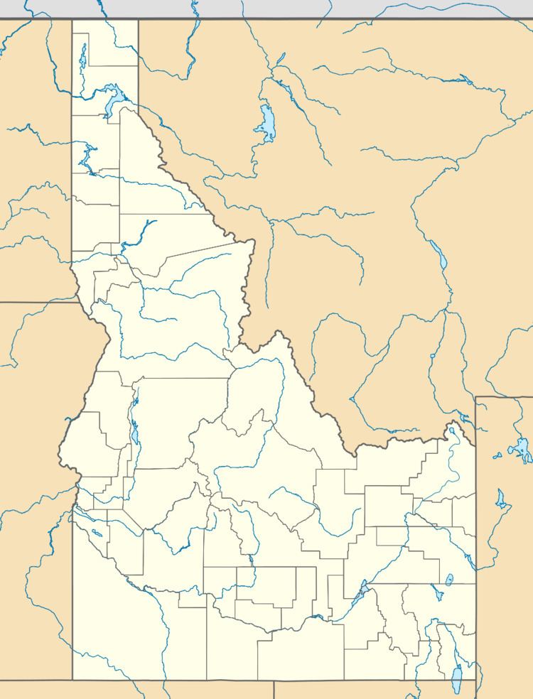
Map of Lowell, Kooskia, ID 83539, USA
U.S. Route 12 is the only major highway to serve the community, and occupies the north bank of the Lochsa (and Clearwater). Lowell is between the three rivers, and is accessed by a bridge over the terminus of the Lochsa on Selway Road. The population of Lowell is 30, and there are several motels, resorts, and campgrounds that swell the population seasonally.
The site of the Kooskia Internment Camp (1943–45) is about 6 miles (10 km) upstream of Lowell on U.S. 12, on the north bank of the Lochsa River.
Climate
This region experiences warm (but not hot) and dry summers, with no average monthly temperatures above 71.6 °F. According to the Köppen Climate Classification system, Lowell has a warm-summer Mediterranean climate, abbreviated "Csb" on climate maps.