
OS grid reference NY919702 Sovereign state United Kingdom Local time Tuesday 4:00 AM | Unitary authority Postcode district NE46 | |
 | ||
Weather 11°C, Wind W at 31 km/h, 83% Humidity | ||
Low Brunton is a small village in Northumberland, England. Nearby settlements include Humshaugh, Chollerford and Walwick.
Contents
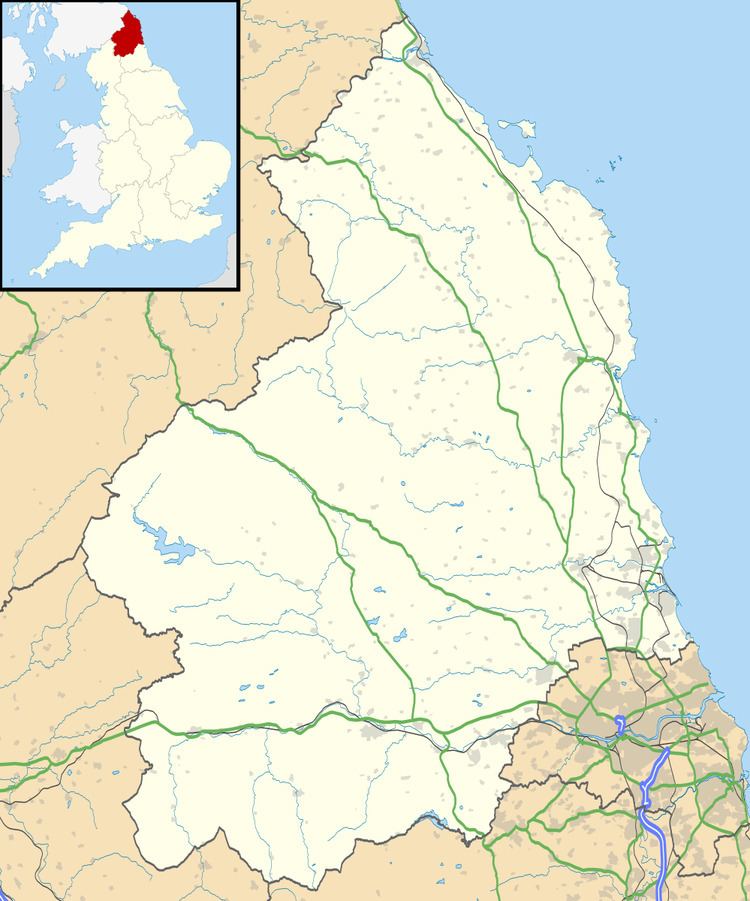
Map of Low Brunton, Hexham, UK
Early history
Hadrian's Wall runs just south of Low Brunton, with the remains of Brunton Turret (26b), just over 26 Roman Miles from the eastern end of the Wall at Wallsend, Newcastle upon Tyne. The turret (stone tower) is noted because its construction displays the difference between the original plan to build the wall ten feet thick, and the revised scheme at a reduced eight feet.
Governance
Low Brunton is in the parliamentary constituency of Hexham.
References
Low Brunton Wikipedia(Text) CC BY-SA