
Country United States Area code(s) 270 & 364 Elevation 114 m Zip code 42060 Local time Monday 9:22 PM | Time zone Central (CST) (UTC-6) GNIS feature ID 2629642 Area 131 ha Population 972 (2010) | |
 | ||
Weather 4°C, Wind NW at 11 km/h, 89% Humidity | ||
Lovelaceville is a census-designated place (CDP) in Ballard County, Kentucky, United States. The population was 972 at the 2010 census.
Contents
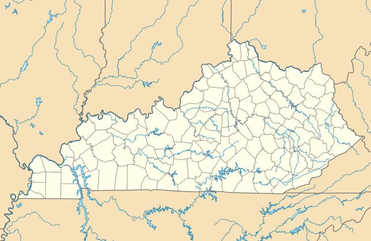
Map of Lovelaceville, KY, USA
Demographics
As of the 2010 census, there were 373 households with a population density of 48. The average household size was 2.53, with 94.11% of the population of white, 2.27% black, 0.31% Asian, 0.31% Native American, and 3% claiming 'Other' ethnicity and 3.93% of the people in Lovelaceville claiming Hispanic ethnicity.
Climate
The climate in this area is characterized by hot, humid summers and generally mild to cool winters. According to the Köppen Climate Classification system, Lovelaceville has a humid subtropical climate, abbreviated "Cfa" on climate maps.
References
Lovelaceville, Kentucky Wikipedia(Text) CC BY-SA