
Max. width 3 km (1.9 mi) Area 10.31 km² Length 6 km Province Leinster | Max. length 6 km (3.7 mi) Surface area 10.31 km (3.98 sq mi) Surface elevation 85 m Width 3 km | |
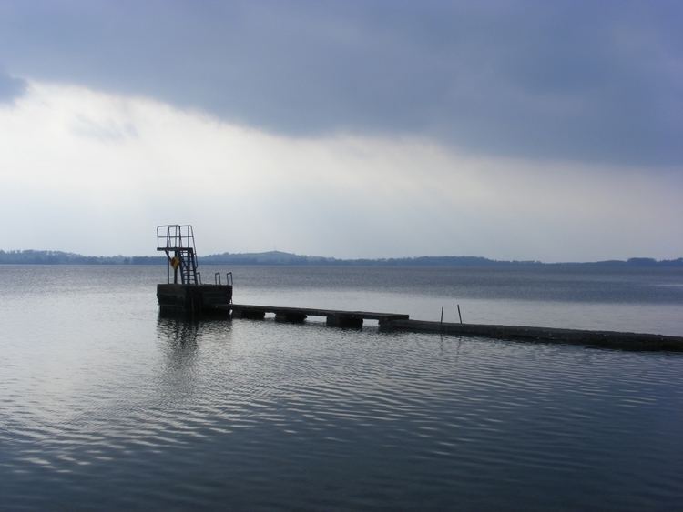 | ||
Lough owel lake mullallys shore mullingar westmeath ireland
Lough Owel (Irish: Loch Úll) is a mesotrophic lough in the Midlands of Ireland, situated north of Mullingar, the county town of Westmeath. It has a maximum depth of 22m. Water from Lough Owel feeds the Royal Canal, a canal crossing Ireland from Dublin to the River Shannon. Access to the lake can be gained from a carpark and pier to the south of the N4 Mullingar to Longford route.
Contents
- Lough owel lake mullallys shore mullingar westmeath ireland
- Map of Lough Owel Co Westmeath Ireland
- Lough owel where to fish in ireland
- References
Map of Lough Owel, Co. Westmeath, Ireland
Lough Owel and Lough Ennell are two of many lakes that form the River Brosna drainage basin. The Brosna is a tributary of the Shannon, flowing through Mullingar and Kilbeggan, both in Westmeath, and from there through the town of Clara (County Offaly) into the Shannon.
The Viking chieftain Turgesius was drowned in Lough Owel by Máel Sechnaill mac Maíl Ruanaid in 845.
Since 1996 the lough has received international protection as a Ramsar site. It is noted for its birdlife and is also well known amongst anglers, and holds a few char along with brown trout.