
Primary outflows River Avonmore Surface elevation 18 m Outflow location River Avon | Province Leinster | |
 | ||
Similar | ||
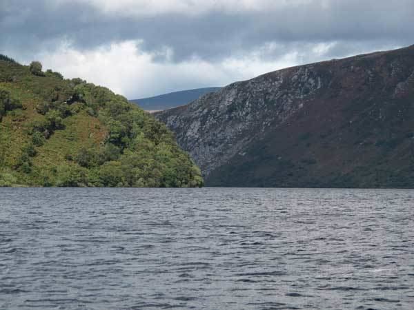
Wild camp at lough dan wicklow mountains ireland
Lough Dan (Irish: Loch Deán) is a boomerang-shaped ribbon lake near Roundwood, County Wicklow, Ireland. It is a popular area for hikers and kayakers and lies very close to the Wicklow Way.
Contents
- Wild camp at lough dan wicklow mountains ireland
- Map of Lough Dan Co Wicklow Ireland
- Scouting JamboreeEdit
- References
Map of Lough Dan, Co. Wicklow, Ireland
The Inchavore river flows into Lough Dan from the north-west. An outflow from Lough Tay - the Cloghoge river - feeds it via from the north-east. It is drained to the south by the River Avonmore. Most of the lake is surrounded by private lands, though the north-western corner is part of the Wicklow National Park.
Scouting JamboreeEdit
In 1997, Lough Dan was the site of an Irish Scouting jamboree, Lough Dan '97, hosted by Scouting Ireland S.A.I. on their national campsite based beside the lake, and co-organised by the Federation of Irish Scouts Associations.
References
Lough Dan Wikipedia(Text) CC BY-SA