Rahul Sharma (Editor)

Louga Department

Updated on
Edit
Like
Comment
Share on FacebookTweet on TwitterShare on LinkedInShare on Reddit
Country
  
Senegal

Capital
  
Louga

Area
  
4,911 km²

Team
  
ASEC Ndiambour

Region
  
Louga Region

Time zone
  
GMT (UTC+0)

Local time
  
Monday 2:08 PM

Louga Department

Weather
  
38°C, Wind NE at 10 km/h, 9% Humidity

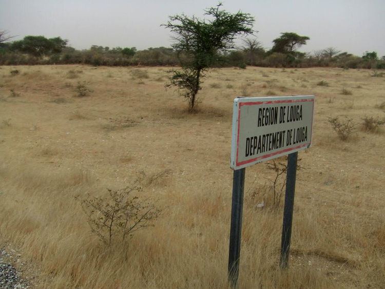
Louga Department is one of the 45 departments of Senegal, and one of the three which comprise the Louga Region.

Contents

Map of Louga, Senegal

The chief settlement is Louga, the only commune in the department.

The rural districts (communautés rurales) comprise:

  • Arrondissement of Coki:
  • Coki
  • Ndiagne
  • Thiamène Cayor
  • Pété Ouarack
  • Guet Ardo
  • Arrondissement of Keur Momar Sarr:
  • Keur Momar Sarr
  • Nguer Malal
  • Syer
  • Gande
  • Arrondissement of Mbédiène:
  • Mbédiène
  • Niomré
  • Nguidilé
  • Kéle Gueye
  • Arrondissement of Sakal:
  • Historic sites

  • Old Artillery Barracks, commune of Louga
  • Louga Post
  • Louga Railway Station
  • Kadd Gui acacia tree, opposite Louga railway station
  • Historic site of " Toundou Diéwol "
  • Daara of Coki at Cooki
  • References

    Louga Department Wikipedia