
Time zone EST (UTC−5) Area 100 km² Population 887 (2011) | Constituted January 1, 1979 Postal code(s) G0S 1S0 Local time Monday 7:47 AM Province Québec | |
 | ||
Weather -18°C, Wind W at 8 km/h, 69% Humidity | ||
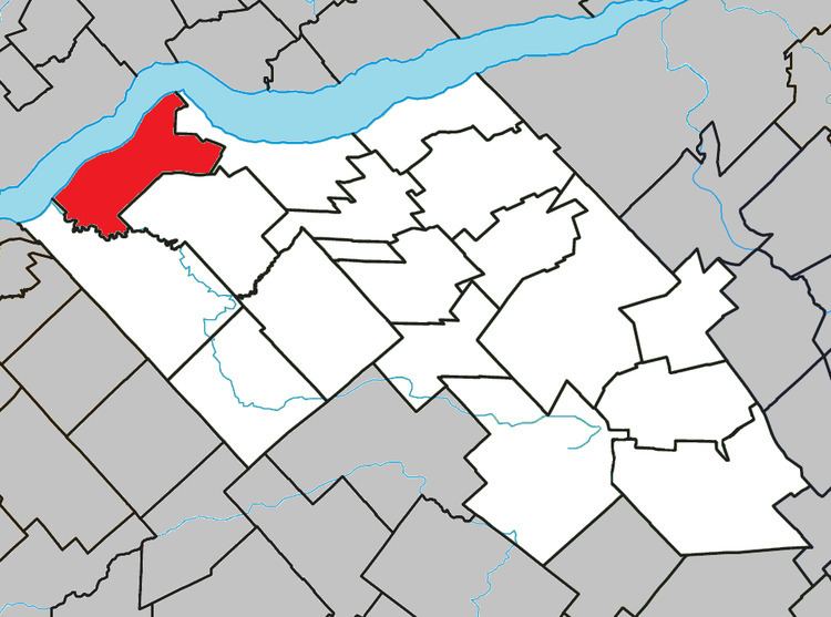
Lotbinière is a municipality in Lotbinière Regional County Municipality in Quebec, Canada. It is part of the Chaudière-Appalaches region and the population was 887 as of the Canada 2011 Census. It is named after the seigneurie of which it was part. Bordered in the northwest by the Saint Lawrence River, Lotbinière is part of the Most Beautiful Villages of Quebec network.
Contents
Map of Lotbini%C3%A8re, QC, Canada
History
It was constituted in 1979 from the amalgamation of the parish of Saint-Louis-de-Lotbinière and the village of Lotbinière. The area was initially settled by French colonizers at the end of the 17th century.
Points of interest
References
Lotbinière, Quebec Wikipedia(Text) CC BY-SA