
Established 1879 Area code(s) +53-82 Area 786 km² Population 38,950 (2005) | Founded 1760 Time zone EST (UTC-5) Elevation 45 m Local time Monday 3:48 AM | |
 | ||
Weather 19°C, Wind N at 3 km/h, 86% Humidity | ||
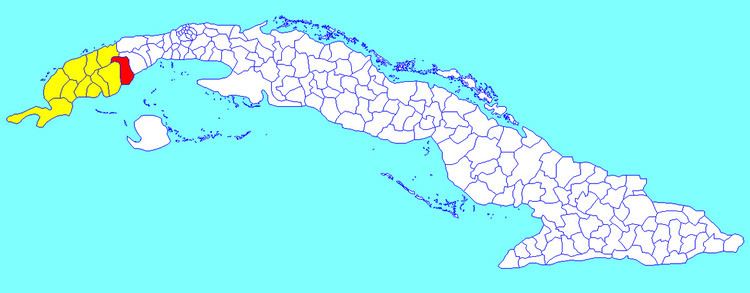
Los Palacios ([los paˈlasjos]) is a municipality and town in the Pinar del Río Province of Cuba. It was founded in 1760.
Contents
Map of Los Palacios, Cuba
Geography
The municipality is divided into the barrios of Limones, Macurijes, Paso Real, Santa Mónica, Santo Domingo, Sierra and Urbano.
Los Palacios Municipal Museum is located in the 21st street.
Demographics
In 2004, the municipality of Los Palacios had a population of 38,950. With a total area of 786 km2 (303 sq mi), it has a population density of 49.6/km2 (128/sq mi).
References
Los Palacios Wikipedia(Text) CC BY-SA