
Founded April 6, 1989 Subdivisions 1 populated center Area 18.25 km² | Capital Las Palmeras Time zone PET (UTC-5) Elevation 75 m | |
 | ||
Neighborhoods Santa Luisa, Chirimoyas, Urbanizacion Anjelica Gamara | ||
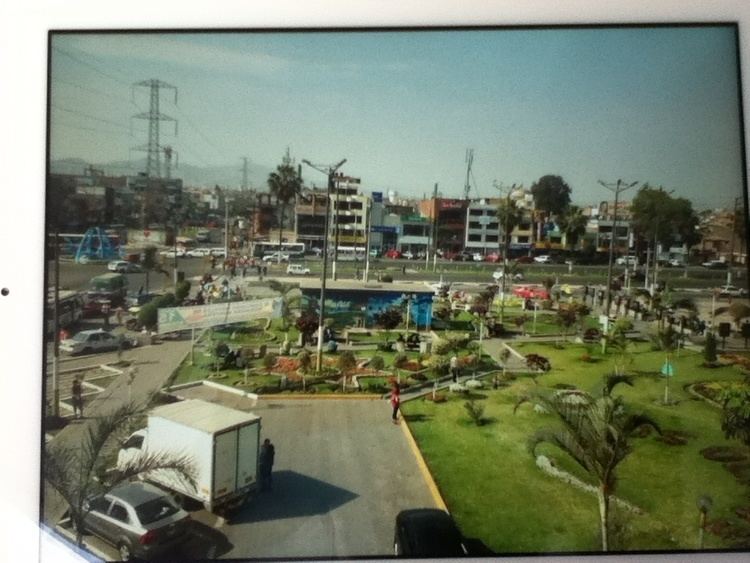
Los Olivos is a district of the Lima Province in Peru. It is considered the unofficial capital of the Cono Norte area in the city of Lima.
Contents
Map of Los Olivos, Peru
The district was officially established on April 6, 1989 when it separated from San Martín de Porres.
Currently, the mayor of Los Olivos is Pedro Moisés Del Rosario Ramírez and the district's postal code is 39.
Geography
The district has a total land area of 18.25 km². Its administrative center is located 75 meters above sea level.
Boundaries
Demographics
According to a 2002 estimate by the INEI, the district has 301,226 inhabitants and a population density of 16,505.5 persons/km². In 1999, there were 53,660 households in the district. Most people living in this district belong to the new middle class.
References
Los Olivos District Wikipedia(Text) CC BY-SA