
Time zone EST (UTC-5) Elevation 75 m Local time Monday 2:34 AM | Established 1876 Area code(s) +53-52 Area 762 km² Population 25,702 (2004) | |
 | ||
Weather 21°C, Wind E at 8 km/h, 87% Humidity | ||
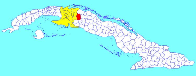
Los Arabos (Spanish for "The Arabs") is a municipality and town in the Matanzas Province of Cuba. It is located in the eastern part of the province, bordering the province of Villa Clara.
Contents
Map of Los Arabos, Cuba
Geography
The municipality is divided into the barrios of Cabecera, Macagua, Monte Alto and San Pedro de Mayabón.
Demographics
In 2004, the municipality of Los Arabos had a population of 25,702. With a total area of 762 km2 (294 sq mi), it has a population density of 33.7/km2 (87/sq mi).
References
Los Arabos Wikipedia(Text) CC BY-SA