
Airport type Joint Mil-Civ airfield Elevation AMSL 160 ft / 49 m Elevation 49 m | 02/20 1,670 Code LRT Phone +33 2 97 87 21 50 | |
 | ||
Website www.lorient.aeroport.fr Similar Profiles | ||
Hop atr 72 600 f hopn powerful takeoff from paris orly to lorient south brittany airport
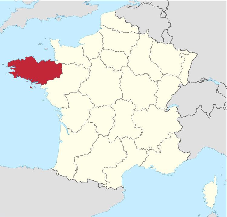
Lorient South Brittany Airport or Aéroport de Lorient Bretagne Sud (IATA: LRT, ICAO: LFRH), also known as Lorient-Lann-Bihoué Airport, is the airport serving the city of Lorient. It is situated 5 km west-northwest of Lorient, a commune of the Morbihan département in the Brittany region of France.
Contents
- Hop atr 72 600 f hopn powerful takeoff from paris orly to lorient south brittany airport
- Military use
- References
Military use
The airport is comparatively large, 3 km by 3 km, which is due to its being built during the Second World War to support German submarine operations from the nearby base in Lorient.
It is also known as Lann Bihoue Naval Air Base (Base Aéronavale de Lann Bihoué) and is one of the French Naval Aviation bases, currently hosting:
These units also form the airwing which is assigned to the aircraft carrier "Charles de Gaulle".
References
Lorient South Brittany Airport Wikipedia(Text) CC BY-SA