
Country Philippines Established January 1, 1919 Time zone PST (UTC+8) Province Dinagat Islands | Region Caraga (Region XIII) Barangays Area 255.9 km² | |
 | ||
District Lone district of Dinagat Islands | ||
Loreto is a municipality in the province of Dinagat Islands, Philippines. According to the 2015 census, it has a population of 9,309 people.
Contents
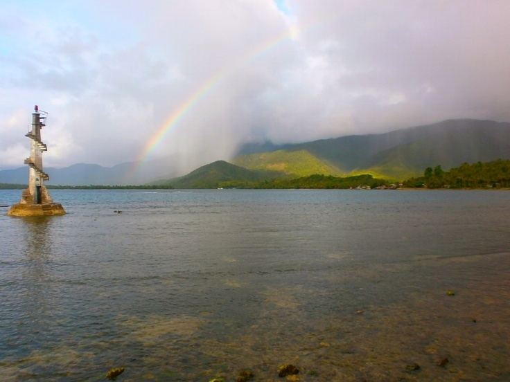
Map of Loreto, Dinagat Islands, Philippines
History
The town became a part of the province of Dinagat Islands in October 2, 2006 when the province was created from Surigao del Norte by Republic Act No. 9355. However, in February 2010, the Supreme Court ruled that the law was unconstitutional, as the necessary requirements for provincial land area and population were not met. The town reverted to Surigao del Norte. On October 24, 2012, however, the Supreme Court reversed its ruling from the previous year, and upheld the constitutionality of RA 9355 and the creation of Dinagat Islands as a province.
In 1956, the sitio of Roxas was converted into a barrio.
Barangays
Loreto is politically subdivided into 10 barangays.
Economy
The town is endowed with rich mineral resources like aluminous laterite ore, chromite, gold, niceliferous laterite, sand and gravel, guano, rock phosphate, limestone, and siliceous sand. It is also considered as an excellent fishing ground.