
Area 14.39 km² | Local time Monday 1:58 AM | |
 | ||
Region Bourgogne-Franche-Comté Intercommunality Pays de Pierrefontaine-Vercel Weather 5°C, Wind S at 2 km/h, 83% Humidity | ||
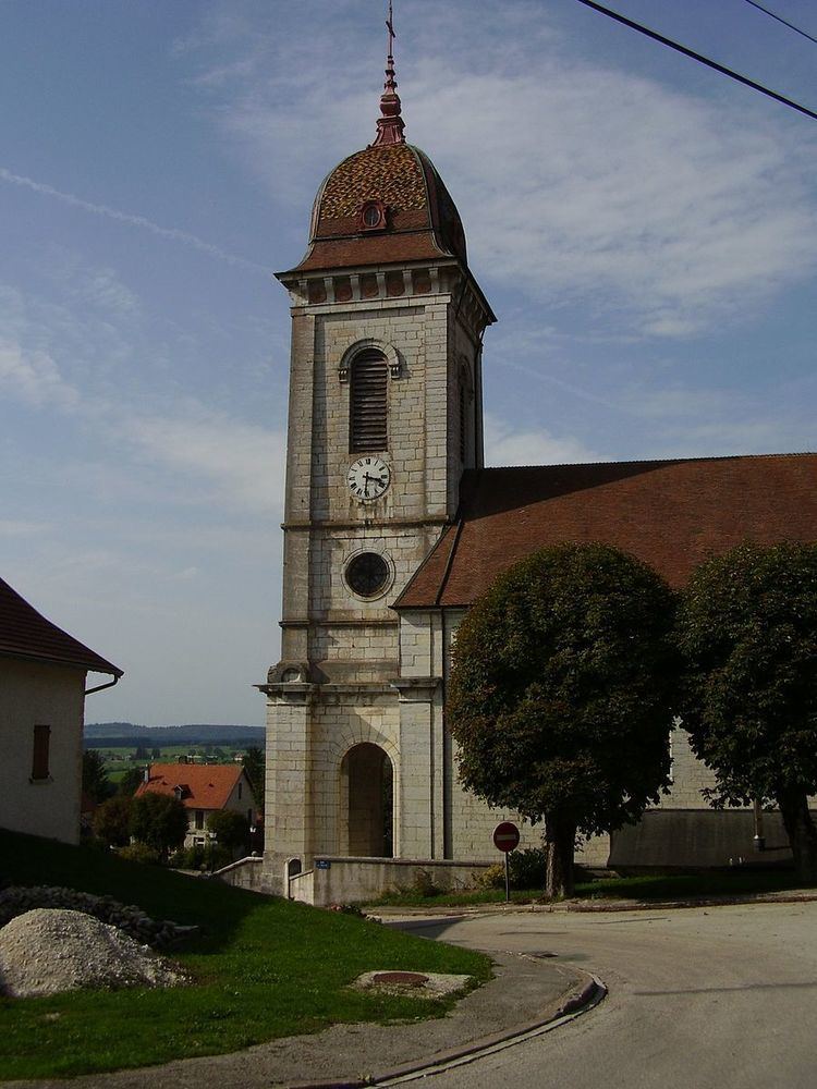
Loray is a commune in the Doubs department in the Bourgogne-Franche-Comté region in eastern France.
Contents
Map of 25390 Loray, France
Geography
Loray lies 12 km (7.5 mi) south of Pierrefontaine, near Valdahon and Orchamps-Vennes at approximately 50 km (31 mi) east of Besançon on the road between Morteau and Besançon. Its highest point is the Roche-Barchey at 1000 m.
Population
Its inhabitants are called Loraitins (or Cabas).
Nearby communes
The neighbouring communes are La Sommette, Flangebouche, Orchamps-Vennes, Plaimbois-Vennes, and Vennes.
References
Loray Wikipedia(Text) CC BY-SA