Country United States Time zone Central (CST) (UTC-6) Area 9.2 km² Local time Sunday 5:57 PM | Elevation 3,257 ft (993 m) ZIP code 79342 Population 225 (2010) | |
 | ||
Weather 16°C, Wind S at 24 km/h, 54% Humidity | ||
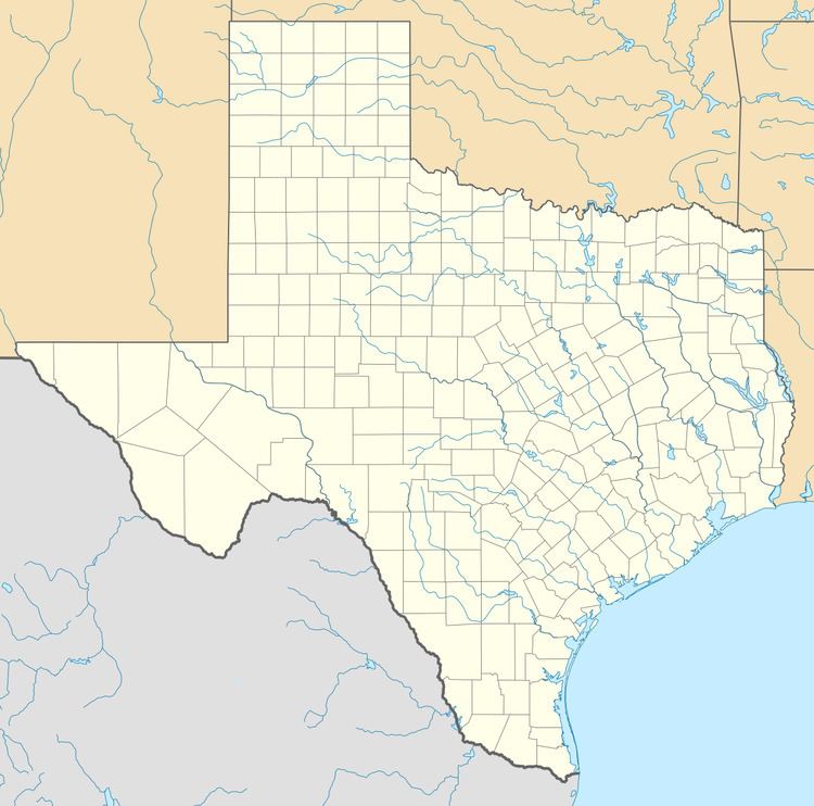
Loop is a census-designated place and unincorporated community in Gaines County, Texas, United States. As of the 2010 census it had a population of 225.
Contents
Map of Loop, TX 79342, USA
The community was named for the loop of the postmaster's lasso.
Geography
Loop is located in northeastern Gaines County along Texas State Highway 83, which leads west 9 miles (14 km) to Seagraves and east 17 miles (27 km) to Welch. Seminole, the Gaines County seat, is 26 miles (42 km) to the southwest by road.
According to the U.S. Census Bureau, the Loop CDP has an area of 3.54 square miles (9.17 km2), all of it land.
Education
The Loop Independent School District serves area students. The campus includes all grades from Kindergarten to Senior level. All students are contained on the single campus with a circular building for the primary school and with high school and middle school students sharing a long rectangular hallway.
The school participates in the Texas University Interscholastic League. The school's mascot is the Loop Longhorn. The school participates in sports including Six-man football, basketball, tennis, and track. The school also has maintained a marching band and concert band program.
