
Country United States Time zone CST (UTC-6) Area 131.3 km² Population 6,354 (2010) | Established November 4, 1873 Elevation 131 m Local time Sunday 5:03 PM | |
 | ||
ZIP codes 62215, 62245, 62265, 62266, 62293 Weather 6°C, Wind E at 13 km/h, 36% Humidity | ||
Looking Glass Township is one of fifteen townships in Clinton County, Illinois, USA. As of the 2010 census, its population was 6,354 and it contained 2,439 housing units.
Contents
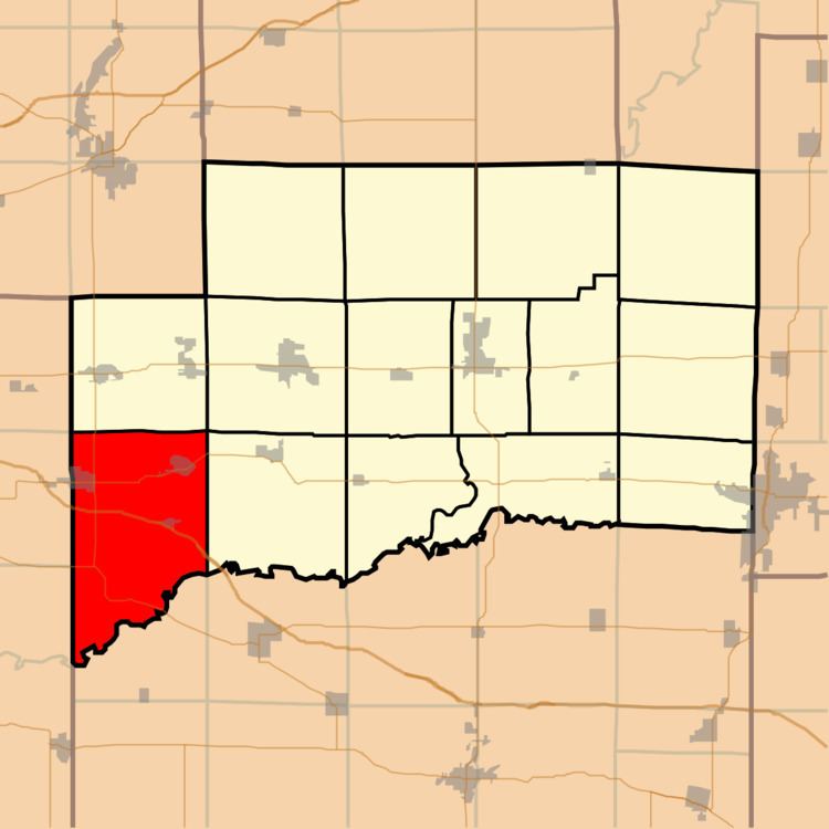
- Map of Looking Glass Township IL USA
- Geography
- Cities towns villages
- Unincorporated towns
- Cemeteries
- Major highways
- Airports and landing strips
- Rivers
- Lakes
- School districts
- Political districts
- References
Map of Looking Glass Township, IL, USA
Geography
According to the 2010 census, the township has a total area of 50.71 square miles (131.3 km2), of which 50.42 square miles (130.6 km2) (or 99.43%) is land and 0.29 square miles (0.75 km2) (or 0.57%) is water.
Cities, towns, villages
Unincorporated towns
(This list is based on USGS data and may include former settlements.)
Cemeteries
The township contains these four cemeteries: Green Mount, Harpstrite, New Baden and Saint Bernard.
Major highways
Airports and landing strips
Rivers
Lakes
School districts
Political districts
References
Looking Glass Township, Clinton County, Illinois Wikipedia(Text) CC BY-SA