
Country United States of America | Length 114 km Mouth Portland | |
 | ||
Progression | ||
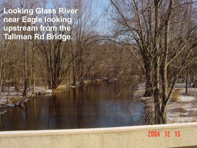
The Looking Glass River in the U.S. state of Michigan is a river flowing through the central region of the Lower Peninsula. It is about 71 miles (114 km) long, has no dams, and borders many wetlands and woodlots.
Map of Looking Glass River, Michigan, USA
It rises in Conway Township in northeast Livingston County and flows north into Shiawassee County, passing between Morrice and Bancroft as it turns westward and passes just south of Laingsburg on the western edge of Shiawassee. It then runs through the southern portion of Clinton County, including DeWitt. It flows into the Grand River in Portland in southeast Ionia County.
The stream starts as a slow soft-bottom waterway. On the 25 miles (40 km) between the Livingston County line and Laingsburg the river averages 10 to 18 feet (3.0 to 5.5 m) wide. There is more activity in the lower stretch below DeWitt, where there is good fishing and canoeing.
In Clinton County, the river flows through the A Looking Glass Sanctuary, a 13-acre (5.3 ha) nature preserve owned by the Michigan Nature Association.