
Country United States County Clay FIPS code 20-42575 Elevation 408 m Zip code 67458 Population 78 (2013) | Time zone Central (CST) (UTC-6) GNIS feature ID 0476307 Area 39 ha Local time Sunday 2:07 PM Area code 785 | |
 | ||
Weather 3°C, Wind S at 32 km/h, 77% Humidity | ||
Longford is a city in Clay County, Kansas, United States. As of the 2010 census, the city population was 79.
Contents
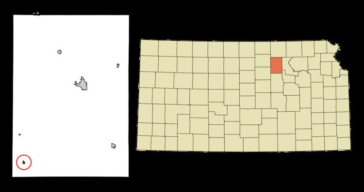
- Map of Longford KS 67458 USA
- History
- Geography
- Climate
- 2010 census
- 2000 census
- Education
- Notable people
- References
Map of Longford, KS 67458, USA
History
Longford was founded in 1870. The first post office in Longford was established in 1875.
In 1887, Atchison, Topeka and Santa Fe Railway built a branch line from Neva (3 miles west of Strong City) through Longford to Superior, Nebraska. In 1996, the Atchison, Topeka and Santa Fe merged with Burlington Northern Railroad and was renamed to the current BNSF Railway. Most locals still refer to this railroad as the "Santa Fe".
Geography
Longford is located at 39°10′17″N 97°19′43″W (39.171527, -97.328512). According to the United States Census Bureau, the city has a total area of 0.15 square miles (0.39 km2), all land.
Climate
The climate in this area is characterized by hot, humid summers and generally mild to cool winters. According to the Köppen Climate Classification system, Longford has a humid subtropical climate, abbreviated "Cfa" on climate maps.
2010 census
As of the census of 2010, there were 79 people, 34 households, and 17 families residing in the city. The population density was 526.7 inhabitants per square mile (203.4/km2). There were 49 housing units at an average density of 326.7 per square mile (126.1/km2). The racial makeup of the city was 97.5% White, 1.3% Native American, and 1.3% from two or more races. Hispanic or Latino of any race were 6.3% of the population.
There were 34 households of which 26.5% had children under the age of 18 living with them, 44.1% were married couples living together, 2.9% had a female householder with no husband present, 2.9% had a male householder with no wife present, and 50.0% were non-families. 41.2% of all households were made up of individuals and 14.7% had someone living alone who was 65 years of age or older. The average household size was 2.32 and the average family size was 3.41.
The median age in the city was 39.5 years. 32.9% of residents were under the age of 18; 1.3% were between the ages of 18 and 24; 21.6% were from 25 to 44; 29.2% were from 45 to 64; and 15.2% were 65 years of age or older. The gender makeup of the city was 49.4% male and 50.6% female.
2000 census
As of the census of 2000, there were 94 people, 41 households, and 25 families residing in the city. The population density was 619.8 people per square mile (242.0/km²). There were 54 housing units at an average density of 356.1 per square mile (139.0/km²). The racial makeup of the city was 96.81% White, 2.13% African American, and 1.06% from two or more races.
There were 41 households out of which 26.8% had children under the age of 18 living with them, 58.5% were married couples living together, and 36.6% were non-families. 31.7% of all households were made up of individuals and 22.0% had someone living alone who was 65 years of age or older. The average household size was 2.29 and the average family size was 2.88.
In the city, the population was spread out with 24.5% under the age of 18, 7.4% from 18 to 24, 27.7% from 25 to 44, 19.1% from 45 to 64, and 21.3% who were 65 years of age or older. The median age was 37 years. For every 100 females there were 88.0 males. For every 100 females age 18 and over, there were 97.2 males.
The median income for a household in the city was $20,833, and the median income for a family was $24,375. Males had a median income of $22,500 versus $10,000 for females. The per capita income for the city was $12,072. There were 11.1% of families and 13.6% of the population living below the poverty line, including no under eighteens and 33.3% of those over 64.
Education
Longford is a part of USD 379 Clay County School District.
Longford schools were closed through school unification. The Longford High School mascot was Longford Lions.