Gaelic name Longa OS grid reference NG736776 Area 126 ha | Norse name Possibly Long-øy Area rank 132 Council area Highland | |
 | ||
Highest elevation Druim am Eilean 70 metres (230 ft) Island groups British Isles, Inner Hebrides | ||
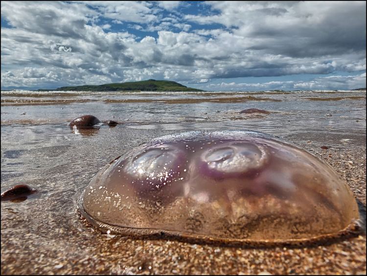
Longa Island (Gaelic: Longa) is a small uninhabited island at the mouth of Gairloch on the west coast of Scotland.
Contents
Map of Longa Island, United Kingdom
GeologyEdit
The island is mainly sandstone covered with grass and heather.
EconomyEdit
There was a small fishing community in early in the 19th century; the island had become deserted by the latter part.
References
Longa Island Wikipedia(Text) CC BY-SA
