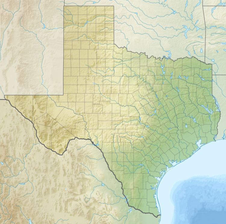
Airport type Public Serves Houston, Texas Elevation AMSL 245 ft / 75 m Elevation 75 m | Owner Montgomery County Location Conroe, Texas Code CXO Phone +1 936-539-7811 | |
 | ||
Website www.lonestarexecutiveairport.org Address 10260 Carl Pickering Memorial Dr, Conroe, TX 77303, USA | ||
Making of the new galaxy fbo at the lone star executive airport
Conroe-North Houston Regional Airport (IATA: CXO, ICAO: KCXO, FAA LID: CXO), formerly known as "Lone Star Executive Airport" is a county-owned public-use airport located in Conroe, Montgomery County, Texas, United States, 37 miles (60 km) north of the central business district of Houston. It was formerly known as Montgomery County Airport.
Contents
- Making of the new galaxy fbo at the lone star executive airport
- History
- Facilities
- Accidents and incidents
- References
History
Conroe-North Houston Regional Airport was constructed during World War II to serve as a military facility, but was converted in 1945 to be a predominately civilian airfield.
Facilities
Conroe-North Houston Regional Airport covers an area of 1,277 acres (517 ha) which contains two runways: 14/32 with a 7,501 x 150 ft (1,829 x 46 m) concrete pavement and 1/19 with a 5,000 x 100 ft (1,524 x 30 m) concrete surface.
For the 12-month period ending April 30, 2010, the airport had 78,432 aircraft operations, an average of 215 per day: 94% general aviation, 5% military and <1% air taxi. At that time there were 254 aircraft based at this airport: 74% single-engine, 15% multi-engine, 3% jet, 3% helicopter and 5% military.
There are currently two Fixed Based Operators at the airport: Galaxy FBO and General Aviation FBO.
The airport added ARFF Aircraft rescue and firefighting in 2015 with AR-1 Oshkosh Corporation P-19.
